Estimated read time: 3-4 minutes
SALT LAKE CITY — Utah's favorite — or least favorite — four-letter word is in the forecast.
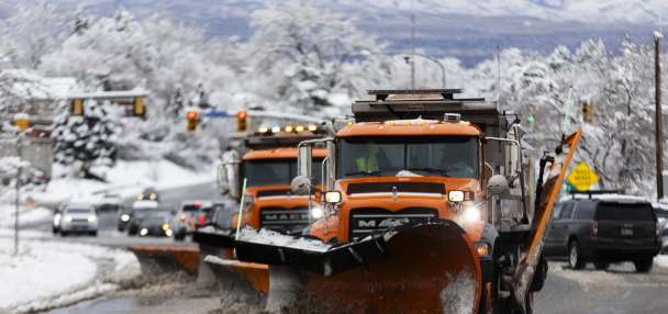
Yes, snow is expected to return to Utah's highest elevations this week, marking the first mountain snow of the season.
The National Weather Service projects 4 to 6 inches of snow, or more, could fall at Kings Peak — Utah's highest point — while other parts of the High Uintas could also receive multiple inches of snow between Monday night and the end of Tuesday.
Some measurable snow is possible at other peaks across the state. There's as much of a 58% probability that some measurable snow falls within the Upper Cottonwood Canyons, according to the agency. KSL meteorologist Matt Johnson said parts of the Wasatch Mountains, including the Cottonwood Canyons, could receive anywhere from a small dusting to a few inches this week.
In general, the snow line will likely be at about 8,500 to 9,000 feet elevation while lower elevations will see scattered rain showers over the next few days and considerably cooler temperatures just in time for the start of astronomical fall on Sunday.
"It's going to be feeling very fall-like this week — kind of our first full week of fall-ish weather," Johnson said.
Some additional precipitation is possible from another system later in the week.
A seasonal start to fall
Some scattered showers are forecast for Monday afternoon and evening, but the first mountain snow of the season is tied to a low-pressure system entering northern Utah from California. KSL meteorologist Devan Masciulli said the core of the system will spin in moisture, mostly impacting Utah's northern half Tuesday morning. Weather models indicate this is when rain will switch over to snow in the mountains.
On top of the snow, Wasatch Front and northern Utah valley communities like Provo, Salt Lake, Ogden and Logan could receive as much as 0.10 to 0.75 inches over the next few days, according to the National Weather Service. Masciulli said a second storm system is forecast to move across southern California through Arizona later in the week, which may provide additional precipitation on Thursday from its northern boundary.
These patterns will also keep temperatures feeling more like early to mid-October and less like the final week of summer. High temperatures across the Wasatch Front will drop from the low to mid-80s on Monday to mid- to upper 60s and low 70s from Tuesday through the end of the week. Overnight lows could fall into the 40s and 50s across the region.
That's similar to the normal highs around the second week of October, per weather service climate data.
Overnight lows may even drop into the 30s across parts of northern Utah this week. It may also produce more freeze watches and warnings in higher-elevation areas like what happened in the Wasatch Backcountry last week.
Highs will dip from the mid- to upper 80s to the low 80s and upper 70s near St. George this week. Overnight lows will drop into the 50s.
Full seven-day forecasts for areas across Utah can be found online, at the KSL Weather Center.
Resorts ready for the snow
Utah's first snow of the season comes as the state's 15 resorts prepare for the start of the 2024-2025 ski season. Some have already released tentative opening dates for the year:
- Alta Ski Area: Nov. 22
- Brian Head Resort: Nov. 8
- Deer Valley Resort: Dec. 7
- Eagle Point Resort: Dec. 20
- Park City Mountain: No. 22
- Snowbasin Resort: Nov. 29
- Snowbird Resort: Nov. 28
- Sundance Mountain Resort: Dec. 2
Of course, those dates may change depending on how much snow falls over the coming weeks and months. Utah received about 6.75 million skier visits last winter.


