Estimated read time: 4-5 minutes
This archived news story is available only for your personal, non-commercial use. Information in the story may be outdated or superseded by additional information. Reading or replaying the story in its archived form does not constitute a republication of the story.
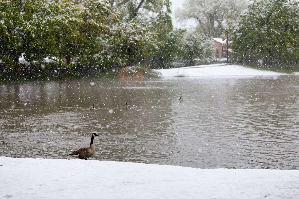
SALT LAKE CITY — A multiday storm system that primarily impacted Utah's northern half from Sunday through Tuesday was quite productive, dumping more than a half-foot of water in some areas.
It, and a slightly smaller storm in late April, helps reverse some drying patterns emerging in Utah, but it's too early to know whether it will impact this year's water supply. Utah's reservoir system is already its fullest since at least June 2020.
2 impactful spring storms
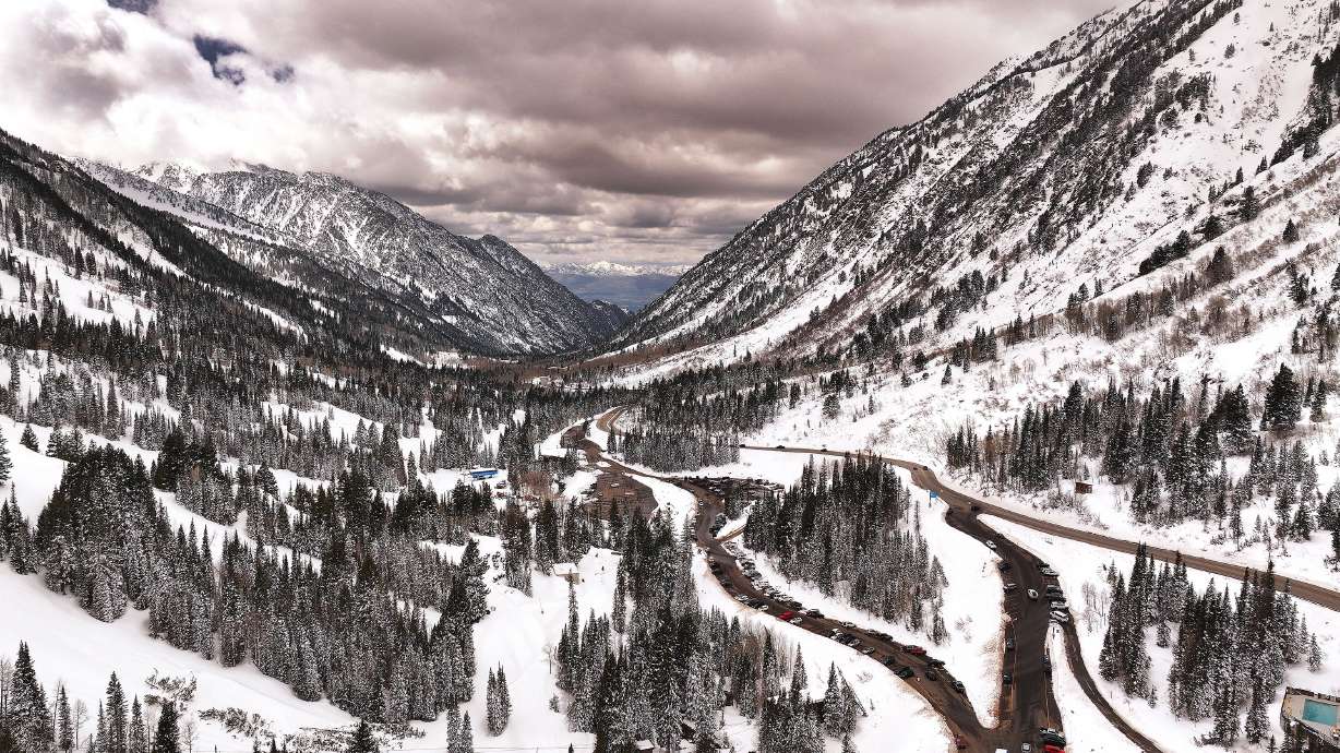
The most recent storm delivered over 3 feet of snow at one National Weather Service site located in Alta between Sunday and Tuesday. Alta Ski Area reported 42 inches of snow from the storm, counting additional snow on Wednesday. The water-heavy snow carried over 4 inches of precipitation.
Some mountain sites just north of Little Cottonwood Canyon received as much as 7 inches of water, according to Jordan Clayton, a hydrologist for the Conservation Service and director of its Utah Snow Survey.
Utah's statewide average snowpack rose from 8.1 inches of snow water equivalent on Sunday to 9 inches on Wednesday, despite the storm mostly impacting areas around the Wasatch Front. It has fallen from its peak of 18.8 inches on April 2, as the snowmelt process continues.
Per Natural Resources Conservation Service data, the statewide average jumped from about the median average for the first week of May to 135%. Combined, the Bear River, Weber-Ogden and Provo-Utah Lake-Jordan snowpack basins gained an average of about 1.7 inches of water.
The storm was also productive in many communities along the Wasatch Front and northern Utah, which saw a bit of a dry stretch in April.

Salt Lake City got 1.02 inches of precipitation from the recent storm system, upping its May total to 1.08 inches — about 60% of the city's normal for the month. That's after 1.16 inches from a late-April storm that helped it end up just 0.65 inches shy of its April normal.
Communities north of Salt Lake City ended up with even higher totals from the latest storm. Multiple cities in Davis and Weber counties got over 1.5 inches of precipitation by Tuesday morning, including one Bountiful bench site that recorded 3.6 inches of precipitation from the storm — some of which came from nearly a foot of snow — by 7 a.m. on Tuesday.
A boost to the water supply?
The snowpack collection and the snowmelt process account for about 95% of the state's water supply.
Utah's collective reservoir system is already up to about 89% of capacity, the highest point in at least four years. The state didn't need much to move ahead of last year's peak of 86%, but a slowdown in storms this spring created some concern.
Last month was the state's wettest April in five years, but it was also the 35th-driest since 1895, according to National Centers for Environmental Information data released Wednesday. Last month was also the state's 25th-warmest in 130 years.
These conditions created "reduced optimism in our runoff forecasts," Clayton wrote in a state water supply update report released Monday. That's largely because the state's low- and mid-level snowpacks had already melted off, so Utah's reservoirs could stop gaining water earlier than initially forecast.
That also depends on the weather. The right conditions can bring in more water than forecast and set up an efficient snowpack runoff, adding to what's projected.
It's too soon to tell what type of impact the last two storms will have on this year's final snowmelt runoff, but Clayton said the Conservation Service's projections might be too conservative if the pattern continues.
"We didn't have any way of seeing this coming and if this winds up being a consistent pattern for the month of May then we'd certainly we'd have to think about that in terms of our Wasatch Front river forecasts," Clayton told KSL.com on Wednesday.
The same goes for other parts of the state if future storms reach there.
While Utah's reservoirs are in a much better spot this year than in recent history no matter what happens this spring, Clayton wrote it shouldn't change the water conservation habits from the state's latest drought. The drought emerged in 2020 and lasted through early 2023, causing the statewide reservoir system to slip to about 40% at points.
It's impossible to predict when the next drought will form, but it's also inevitable in Utah.
"The last time Utah's storage system was this full, we had three consecutive years of poor snowpack conditions and dry soils," he wrote. "(That led) to the rather depleted storage levels we had entering the 2023 water year."


