Estimated read time: 4-5 minutes
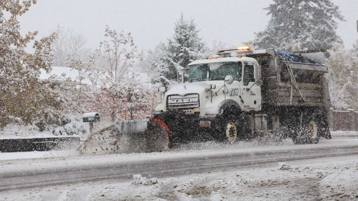
SALT LAKE CITY — Utah's mountains received a nice coating of fresh powder over the weekend, but that's just the beginning as an even larger storm heads toward the state, potentially disrupting Thanksgiving holiday travel.
The National Weather Service issued a series of winter storm warnings and winter weather advisories across Utah's mountain ranges, where 1 to 2 feet of new snow is forecast by Wednesday evening. Some mountain ranges could receive closer to 3 feet of snow, while most valley communities will get rain.
"This is a really potent storm system," said KSL meteorologist Devan Masciulli. "It's going to bring a lot of moisture to Utah that will translate to some heavy valley rain and heavy mountain snow."
Storm timing
The storm that arrived in Utah over the weekend delivered about 7 inches of snow at the National Weather Service's Alta site on Sunday, while Salt Lake City got more than a quarter-inch of precipitation — some of which fell as snow.
But that was just the first wave of an atmospheric river coming from the Pacific Coast. The second wave — packing a strong punch — will make its way by Monday evening.
Moisture will begin to trickle into southwestern Utah, with possible showers in the afternoon, before more widespread showers impact the western half of the state Monday night.
Masciulli explains that higher terrain areas will likely receive rain and snow first, but valley communities will start to get heavier precipitation later in the night and into early Tuesday morning.
"That's when this band really begins to fill in, especially from central through northern Utah — heavy rain at times throughout the morning commute (and) heavy snow showers in our mountains," she said.
Good Monday morning! We have a pretty strong storm on the way tomorrow that will bring valley rain and mountain snow to the entire state. Here's the latest forecast! Stay safe if you plan on traveling ahead of the holiday! pic.twitter.com/iTCHPD4830
— KSL Weather (@kslweather) November 25, 2024
Scattered showers, ranging in intensity, are forecast throughout Tuesday as the system fills in across the state. That will continue into Wednesday, impacting central and southern Utah more ahead of Thanksgiving.
The system is expected to clear up by the Thursday holiday.
Accumulation projections
The winter storm warning covers the central, southern, Wasatch, Wasatch Plateau/Book Cliffs and West Uinta ranges that fall under the National Weather Service Salt Lake City office's jurisdiction.
The agency says 1 to 2 feet is possible across the ranges between Monday and Wednesday evenings. The Tushar mountains and parts of the central mountains — areas expected to receive precipitation over the next three days — could receive closer to 3 feet of snow.
The agency also issued a winter weather advisory for the Castle Country region of central Utah, where places like Price, Emery and Castle Dale are forecast to receive 2 to 4 inches of snow — possibly even up to 6 inches — by noon Tuesday.
"Central Utah is the bullseye of this storm ... (but) it's a really good storm coming in for our ski resorts," Masciulli said.
While not included in the alerts, decent snow accumulation is also anticipated in the Wasatch Backcountry. Weather service models project Park City will receive 2 inches of snow, but there's a 10% chance it could get more. Masciulli said some parts of the backcountry could see 4 to 8 inches of new snow.
Some snowfall is possible — if not likely — across other communities, but the system is forecast to be warm enough that precipitation will fall as rain in most valley areas.
Masciulli said up to a quarter-inch or more of precipitation is forecast across the state, even up to 0.75 inches in parts of the Wasatch Front, northern Utah and southern Utah. Between rain and snow, over an inch of precipitation is possible across central Utah.
Storm impacts
This year's Thanksgiving holiday season is projected to break travel records, but the storm could impact some of that. AAA estimates Tuesday and Wednesday will generate the brunt of the pre-holiday travel, but Utah roads could be slick throughout Tuesday and, in some places, Wednesday morning.
Utah Department of Transportation officials said drivers should prepare for delays of up to 20 minutes on southbound I-15 in Salt Lake County from 3 p.m. to 6 p.m. Tuesday, just from holiday travel. Delays of 10 to 15 minutes are expected on I-15 Wednesday afternoon as well.
The weather service warns that travel through any high-elevation areas or mountain passes "could be very difficult at times." Traction laws could be enforced at times in those areas.
Drivers are urged to slow down and pay attention to the conditions. Airline officials said last week that storms in any part of the country could create longer-than-expected security lines because of potential delays, which could also happen as the system moves through the country this week.
Avalanche danger is currently low or nonexistent, but crews are gearing up for those conditions on the slopes. Utah Department of Transportation closed parts of Big Cottonwood Canyon Monday night through Tuesday morning for avalanche mitigation artillery testing.
The rest of the week
The holiday and travel afterward won't be as wet. Masciulli said cool and dry conditions are anticipated to set up by Thanksgiving.
Highs may only top out in the upper 30s and low 40s across the Wasatch Front on Thursday — and could remain in the low 30s across northern Utah. Temperatures are forecast to remain in the 50s near St. George. Similar conditions are expected to persist through the weekend.
Full seven-day forecasts for areas across Utah can be found online, at the KSL Weather Center.


