Estimated read time: 4-5 minutes
This archived news story is available only for your personal, non-commercial use. Information in the story may be outdated or superseded by additional information. Reading or replaying the story in its archived form does not constitute a republication of the story.
SALT LAKE CITY — Monsoonal storms can be beneficial or harmful, depending on the strength of a storm and the location that gets the rain.
The scattered nature of the weather pattern can leave some areas with nothing and others reeling from intense downpours that can lead to flooding. Orem police shared photos of the aftermath of a storm that dumped nearly an inch of rain in 22 minutes on Tuesday, flooding an Orem condominium complex and turning a skatepark into a temporary pool.
"If you were marked safe from the extreme weather event today, stop praying for moisture. We have enough," police wrote.
However, Utah hydrologists and water managers say Utah needs more monsoonal showers to overcome a dry and hot first two-thirds of the meteorological summer, which have left soil moisture levels below normal in parts of the state's mountains. More of this winter's snowpack water could go toward groundwater levels, instead of flowing into rivers, creeks and streams that recharge Utah's reservoirs.
"Monsoons have been present in some form, but have been few and far between. We need more of these monsoons to saturate our soils for an efficient spring runoff next year," Candice Hasenyager, director at the Division of Water Resources, said in an update to the state's water situation on Thursday.
For good or bad, more scattered monsoon storms are in the forecast for this weekend.
More storms on the way
A high-pressure system is again setting over Arizona and New Mexico, which is expected to produce potential scattered showers and thunderstorms across the state Saturday, Sunday and Monday. While difficult to predict exactly where the storms will be, KSL meteorologist Matt Johson says models show some areas may end up with just a sprinkle while others could get 1 to 2 inches between Saturday and Sunday alone.
"A pretty impressive surge of monsoon moisture is going to return to the state," he said, adding storms may produce microbursts in some areas. "Each afternoon has a chance to bring storms that pack heavy rainfall with them."
Monsoon moisture returns on Saturday bringing a threat for strong to severe thunderstorms during the afternoon and evening for most of Utah and SW Wyoming. These storms will be capable of producing gusty winds, hail, and heavy rain. #utwx#wywxpic.twitter.com/Ji5CUfbFvo
— NWS Salt Lake City (@NWSSaltLakeCity) August 16, 2024
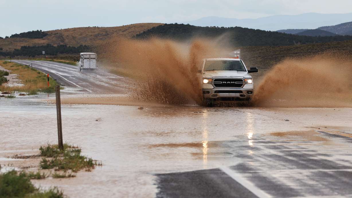
That means there's an elevated potential for flash flooding in recreation areas or urban communities like what happened in Orem on Tuesday. Monsoons can also produce lightning, risking new wildfires.
The National Weather Service issued a flood watch for parts of southwest and south-central Utah that will be in effect from Saturday morning through Saturday night. The agency adds flash flooding is "probable" across Zion National Park, Grand Staircase-Escalante and Glen Canyon National Recreation Area, and possible at other parks on Saturday. Similar outlooks are likely for Sunday and Monday.
Drier conditions are expected after Monday, but storms could potentially return to the state by next Thursday. This trend may last a few more weeks, according to prediction models. The weather service's Climate Prediction Center lists Utah as having a higher probability of near-normal to above-normal rainfall to close out August.
A need to improve soil moisture
It also could help improve Utah's drying conditions. The recent storms helped stabilize some of the drought across the state, according to the U.S. Drought Monitor's latest report. It now lists 7.3% of Utah in moderate drought, down slightly from 7.6%, while 89% of the state remains "abnormally dry."
Utah's average mountain soil moisture had fallen to about 35% of saturation by the end of July, which was below normal, the Utah Natural Resources Conservation Service reported last week. This put levels in the bottom 10th percentile of all observations since the Soil Climate Analysis Network was created in the 1990s, according to the Utah Division of Water Resources.
Conversely, Utah's reservoir levels remain strong. The system remains about 82% full statewide, about 2 percentage points above August 2023 and 17 percentage points above the August median. Many larger reservoirs, including natural bodies like Utah Lake, are still listed at above 80% capacity, while some of the smaller reservoirs are beginning to run out for the season.
Meanwhile, the Great Salt Lake's southern arm has dropped to 4,193.2 feet elevation, two feet below this year's peak. The lake and Utah's reservoirs are almost entirely refilled through the snowpack collection and snowmelt process, so they'd benefit from wetter soil moisture levels.
"Recent storms have increased soil moisture; however, more is needed to bring soil moisture up to near-normal levels," Utah water managers wrote on Thursday.
Full seven-day forecasts for areas across Utah can be found online, at the KSL Weather Center.


